Touring the Côtes du Rhône by bike

- Distance: from 120km to 242km (with variants) - Difficulty level
- Clockwise/anticlockwise signposting. Unmarked areas requiring a logbook.
- Time: 2 to 7 days - Stages from 15 to 45 km / day
- Cumulative elevation gain: + 1840 m
Description
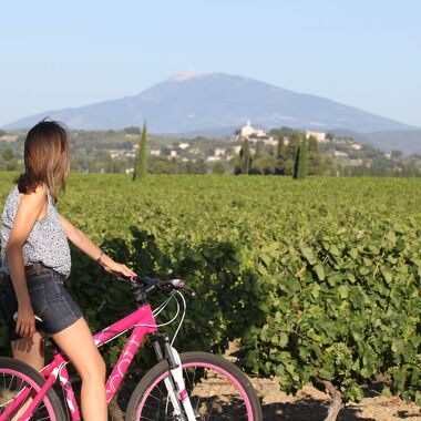
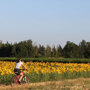
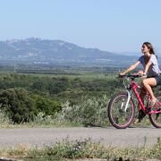
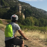
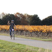
Touring the Southern Côtes du Rhône Vineyards, starting from the Via Rhôna or the Via Venaissia greenways, is a great sensorial experience of the vineyards, revealing their life along the seasons.
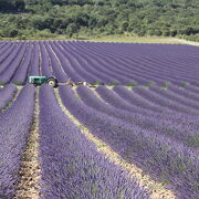
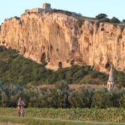
Leaving the Rhône river, you will discover the fantastic Roman heritage of Orange and Vaison la Romaine, the Dentelles de Montmirail rugged landscapes, the Massif d'Uchaux woodlands and the northern foothills of the Mont Ventoux. Outdoor enthusiasts and wine lovers will enjoy cycling through such iconic winegrower’s villages as Châteauneuf du Pape, Beaumes de Venise, Vacqueyras, Gigondas, Cairanne, Rasteau, Vinsobres, Suze la Rousse…. A bit further, from Vaison la Romaine to Valréas and Bollène, the vineyards stretch next to lavander fields, olive groves and truffle oaks.
Opening period
All year round.
Spoken languages
-
French
Itinerary
- Marked route BALISE
- Route type ALLER_ITINERANCE
- Marking accuracy This itinerary is partially signposted in both ways. Follow the green cycle signs. A marking "Cotes du Rhone à vélo" will be done soon. - 2 shortcuts are possible to make 120 km itineraries, but there are not signposted yet. 2 stages (Vaison-Valréas et Valréas-Bollène) are not fully signposted yet. So those 2 stages requires the help of the GPX tracks or the Roadbook that you can download on our website.

 French