Bataillard circuit
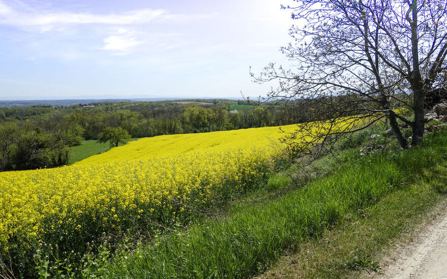
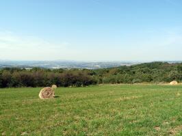
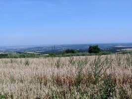
Track underwood on the Grisard plateau or around "la croix du pont", nice views towards Lyon and the River Rhône.

Description
-> From the car park, go down the D502 towards Vienne. After the farm, take the track on the right below the road. Rejoin the D502 at a bend. Go down the right-hand track and join a road at a house. Continue through the hamlet and get back on the D502; follow it on the right for a few metres.
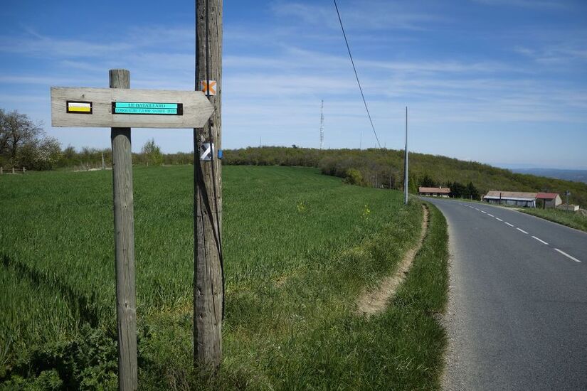
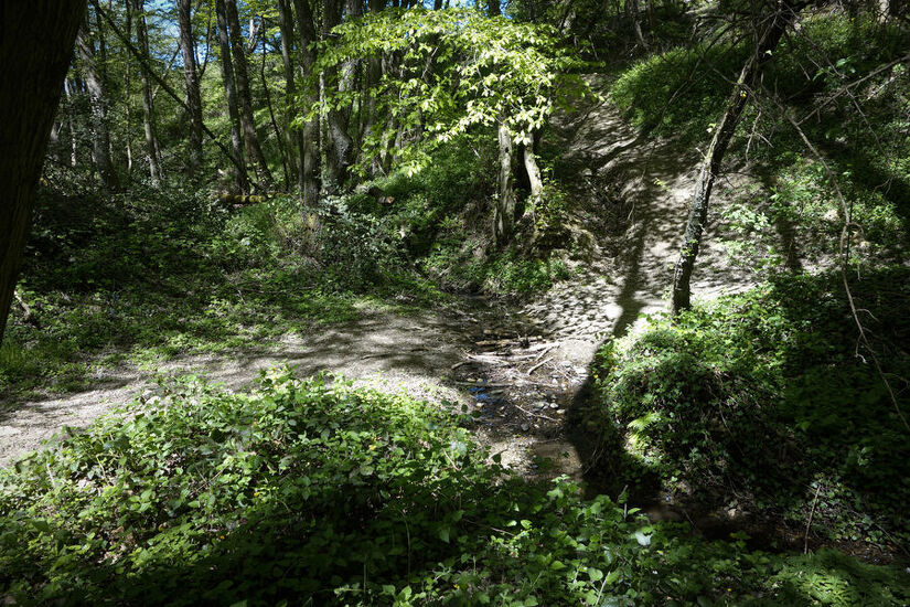
-> Turn right on Chemin du Bataillard (panorama of the Alps and Pilat). The trail crosses the plateau and then descends into the Vézerance Valley. After crossing a stream, the trail climbs the other side and joins a road; take it to the right for about 1.6 km. Ignore two roads on the left. After a bend, at the hamlet of Madinière, reach the start of a path on the left.
-> Take this path on the left that goes up to the top of the Peaume.
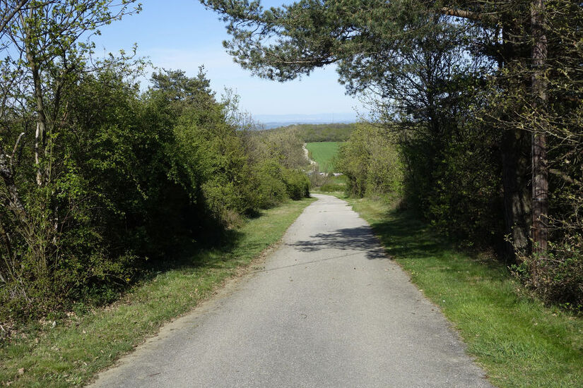
-> At the end of the woods, turn right on the track and reach a flat area. Then continue to the right on the path that goes down to the Grisard car park.
Spoken languages
-
 French
 French
Itinerary
- Marked route BALISE
- Route type BOUCLE
- Nature of the land Rock Ground
Equipment
- Picnic area
Services
- Pets welcome
Environments
- Waterside
- In the country
- Riverside
- Panoramic view
Documents
More informations
69560