
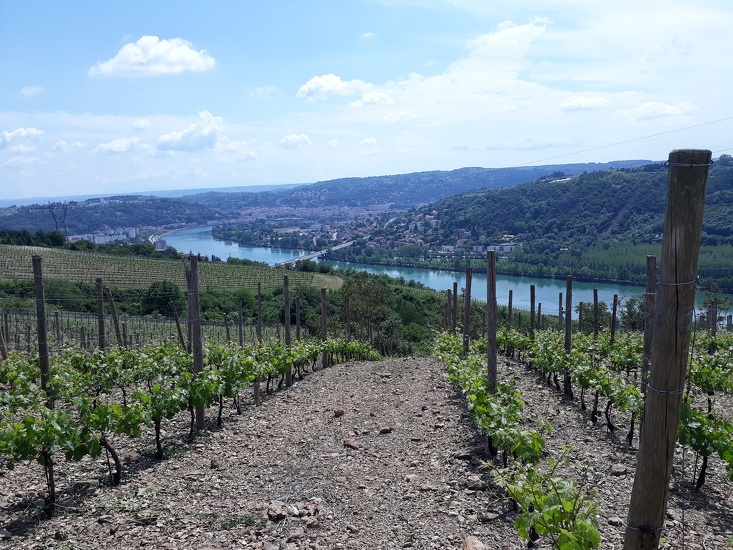
Vineyard path in Ampuis

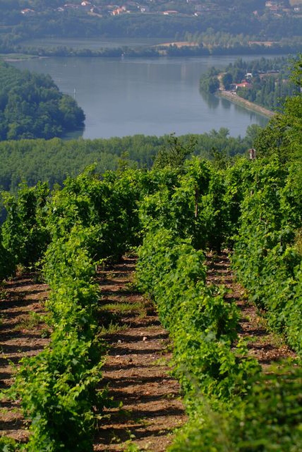
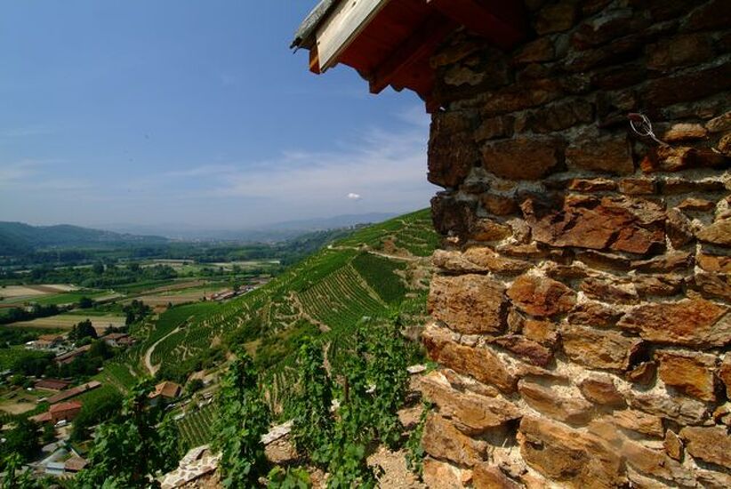
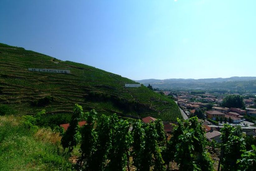
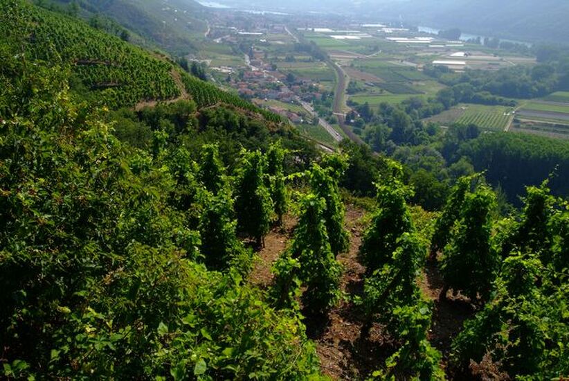
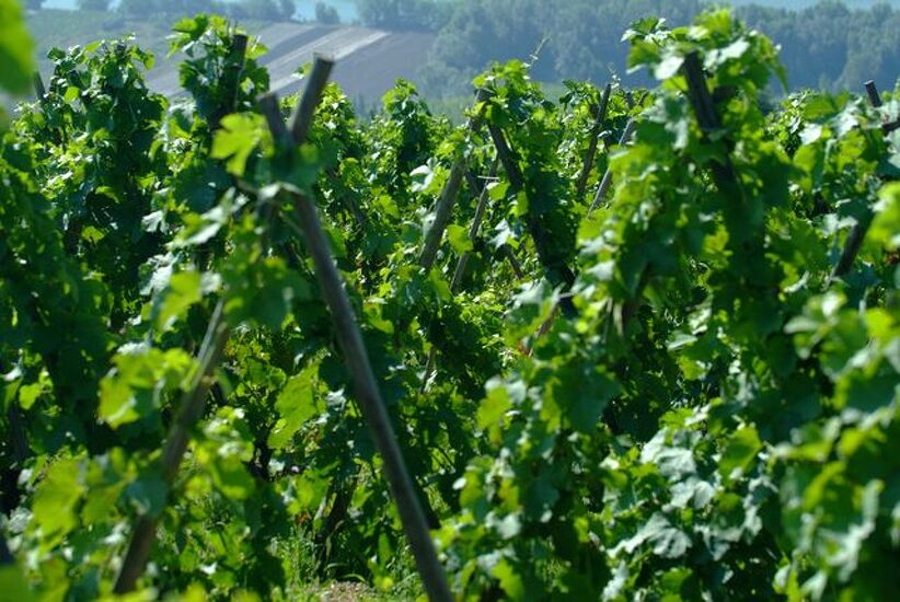
This walk takes you through the prestigious vineyards of Côte-Rôtie overlooking the majestic Rhône River.
Description
Go down the road towards Tartaras, and after 100 metres, take the dirt road on the left. Cross the brook and then the valley. Go up the path on the left to reach the Tartaras plateau. At the hamlet of Tartaras, take the municipal road on the left. Go downhill for 1 km and take the dead-end road. At the end of the paved section, stop to enjoy the hillsides, village, Rhône and the market gardening area.
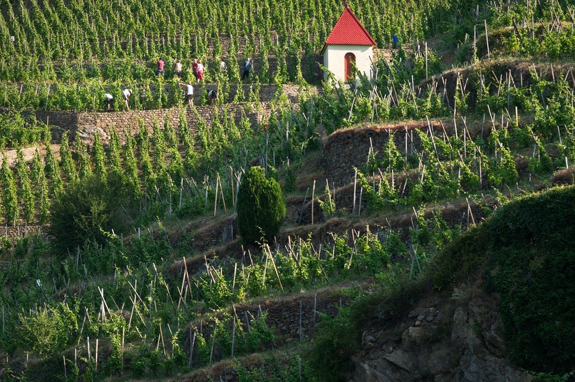
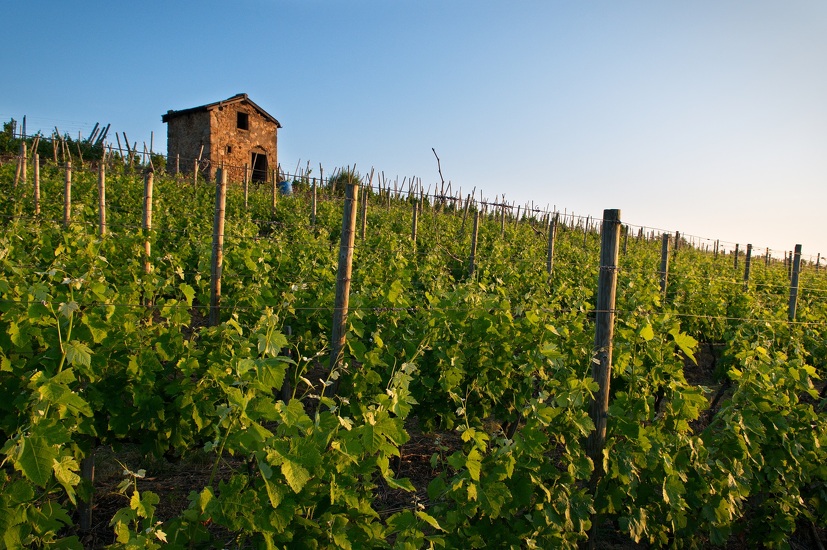
Then, take the dirt road on the left, and go down to the heart of one of the oldest and most prestigious vineyards in France. The path reaches a restored building: it's the Mill. Here, the Fongeant and Reynard streams become one.
Follow the path and the stream in parallel to the D 386 road, then cross the square in front of the church. Return to the stream and take Rue du Port straight ahead to the Rhône.
Here, every first Sunday and Monday of September, you can applaud the jousters and their Lyon or Givordine combat. On the left, go up the dead end by the port, continuing via Petite Rue du Port. Turn right and pass in front of the château, by Rue du Grand Pré. At the junction with Rue des Coutures, turn left onto Rue du Trièves. Take the underpass to cross the railway tracks. Then go up Impasse du Trièves to the D 386 road.
Cross it and take Rue de Ritolas, opposite. At the crossroads, Rue du Jarre and Route de la Brocarde, take the dirt road opposite. Go around the house and you’ll find Coursière de Ritolas on your left. Up to the middle of the hill, the path is dirt and then tarred.
Go straight up the municipal road for 2.5 km, and cross the hamlets of Ritolas and Giraud before arriving at the car park.
Spoken languages
-
 French
 French
Itinerary
- Marked route BALISE
- Route type BOUCLE
Services
- Pets welcome
Environments
- View over the vineyards
Documents
Prices
Free access.
More informations
69420