
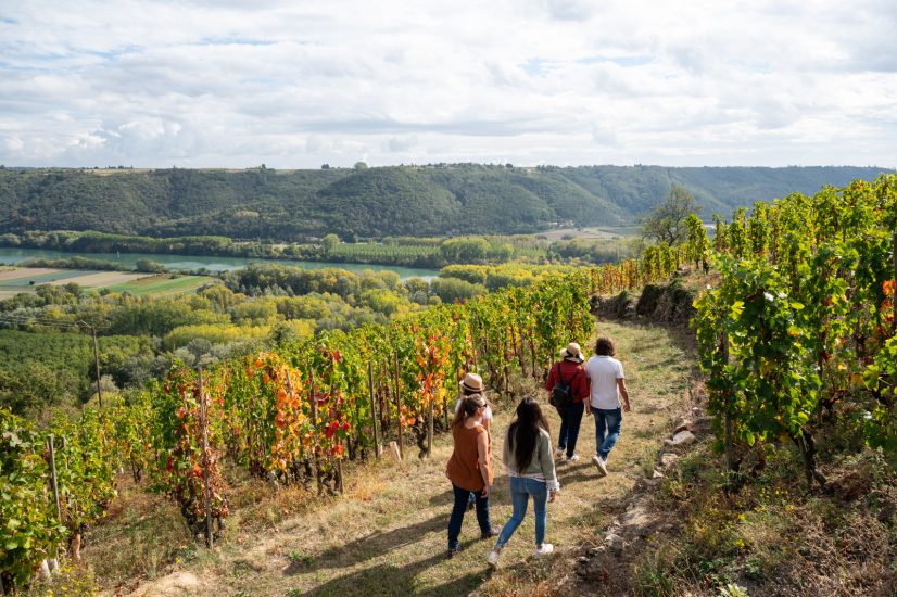
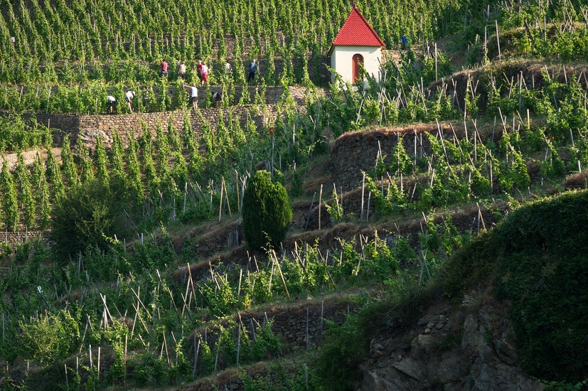
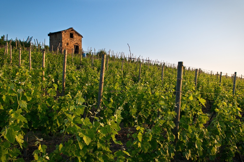
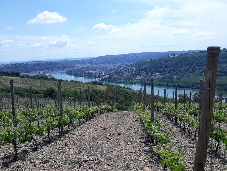
Vineyard path
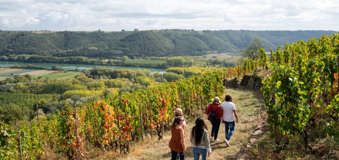
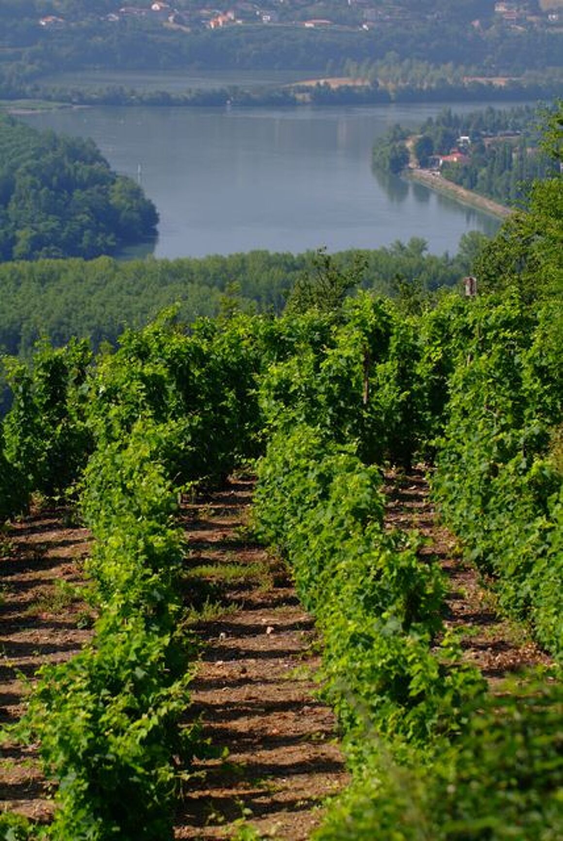
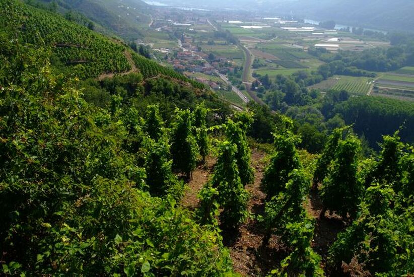
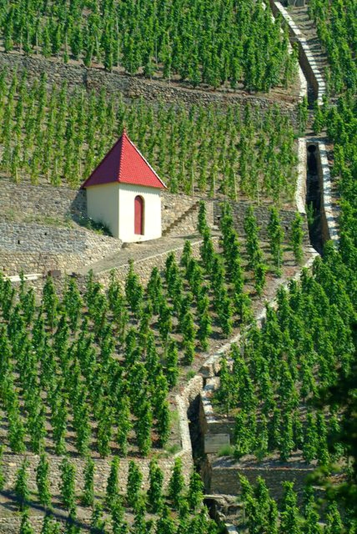
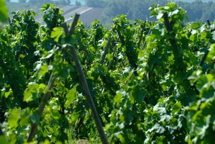
Set off on a stroll through the prestigious vineyards of Côte-Rôtie, with the majestic Rhône River providing a spectacular backdrop.
Description
A hike through the vineyards
DETAILED ITINERARY:
1 - START
- Follow the road down towards Tartaras. After 100 m, take the dirt track on the left.
- Cross the stream, go through the valley and then climb up to the left to reach the Tartaras plateau.
2 - HAMLET OF TARTARAS
- In the village, turn left onto the local road.
- Continue for 1 km, then take the dead-end road.
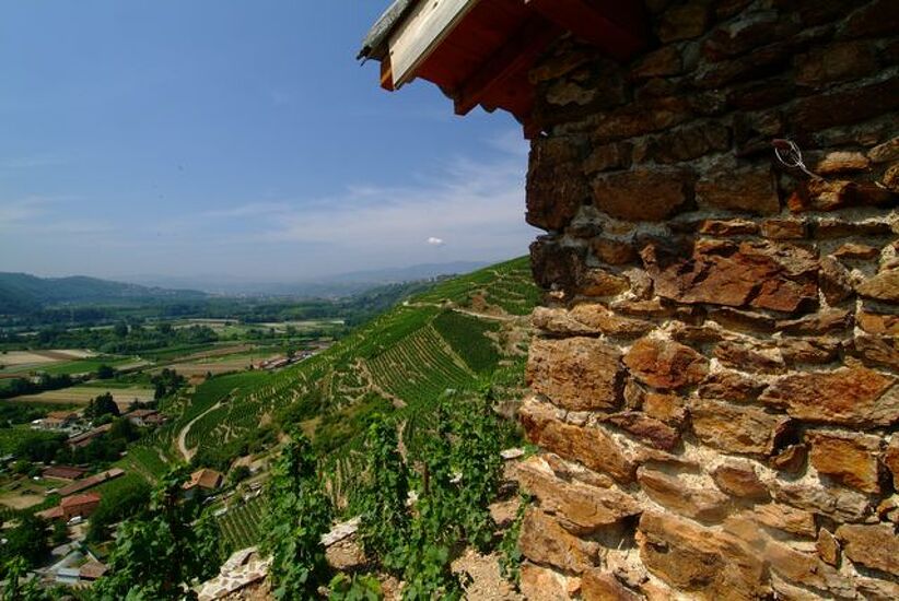
- At the end of the tarmac road, we recommend stopping to enjoy the superb view of the hillsides, the village, the Rhône and the market garden area.
3 - TOWARDS THE MILL
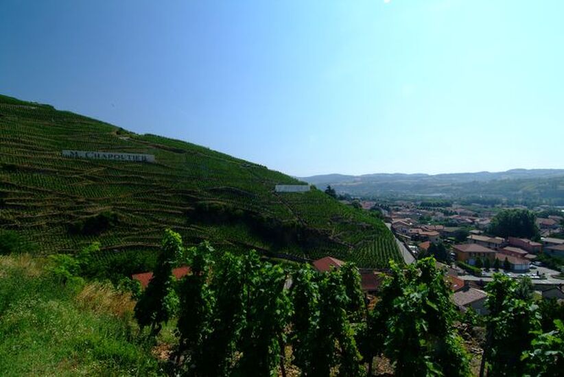
- Take the dirt track on the left and descend into the heart of one of the oldest and most prestigious vineyards in France. The path leads to a restored building: the Mill, where the Fongeant and Reynard streams meet.
4 - TOWARDS THE RHÔNE
- Follow the stream to the D386, cross the square in front of the church, then follow Rue du Port to the Rhône.
(PS: every first Sunday and Monday in September, water jousting competitions are held here, featuring passes from Lyon and Givors).
5 - RETURN THROUGH THE VILLAGE
- Go up Impasse du Port, continue along the small Rue du Port, then turn right in front of the château onto Rue du Grand Pré.
- At the intersection with Rue des Coutures, turn left onto Rue du Trièves and cross the railway line via the underpass.
- Continue along Impasse du Trièves until you reach the D386.
6 - FINAL ASCENT
- Cross the road and take Rue de Ritolas opposite.
- At the crossroads with Rue du Jarre and Route de la Brocarde, continue straight ahead along the dirt track.
- Go around the house and follow the Ritolas path. The path is initially dirt, then tarmac.
7 - CROSSING THE HAMLETS
- Follow the local road for 2.5 km through the hamlets of Ritolas and Giraud to reach the car park.
Spoken languages
-
 French
 French
Itinerary
- Marked route BALISE
- Route type BOUCLE
Services
- Pets welcome
Environments
- View over the vineyards
Documents
Prices
Free access.
More informations
69420