
The valley of gardens
Explore the countryside around Vienne, with its wooded trails and green paths. Several viewpoints offer panoramic views stretching from Pilat to the Alps, to the south of the route.
Description
Hike around Vienne - Main route and alternative route (10.5 km)
Points of interest: Montléans tower, cup-marked stone.
Caution: crossing busy roads, particularly the RD502 between stages 4 and 7.
MAIN ROUTE:
1 - START - CAR PARK
- Follow the path along the stadium.
- Cross the Combaudon woods (follow the signs carefully).
- When you reach the buildings, take the stairs on the right, then turn left to cross a park and reach a roundabout.
- Go to the castle car park and the ‘le Château’ signpost.
2 - TOWARDS PIN ROND
- At the end of the car park, go down the path towards ‘Pin Rond’.
- Cross the D41b and wade across the Suze stream.
- Climb up the other side, then take a farm track to the hamlet of Chez Meunier, crossing it and ignoring the side roads.
- After an intersection and a right-hand bend, take the track on the left.
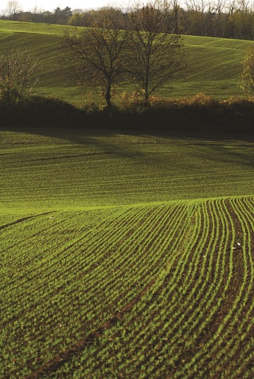
3 - TRACKS AND FIELDS
- Leave the road and follow the track across the fields.
- Cross a small road and continue straight ahead.
- Reach the ‘Pin Rond’ junction.
4 - DESCENT TOWARDS LA SUZE
- Go down the road and cross the D538.
- Follow the road that leads to La Suze.
- After the bridge, turn right onto Chemin de la Suze (approx. 1.6 km) and climb up to the ‘Le Coin’ fork.
ALTERNATIVE ROUTE - 10.5 KM LOOP (yellow markings)
5 - CHEMIN DES FRÊNES
- Turn left, cross the D167 and pass a farm.
- Continue on the path on the right until you reach the hamlet of Le Coin.
- Follow the road that turns left until you reach the signpost marked ‘La Cure’.
6 - CHEMIN DU FERRAT
- Take the road on the right to the end, then continue on the track that climbs towards Le Télégraphe.
7 - HAMLETS AND LOCAL ROADS
- In the hamlet, turn right onto Chemin du Château d'Eau.
- Cross the D46, then turn right onto the Vossère road which leads to the hamlet.
- Continue along the road running alongside the orchards.
8 - RETURN TO THE STADIUM
- At the start of a left-hand bend, leave the road and take a path on the right leading down to a housing estate.
- Continue straight on to the D538, cross it, then take a lane on the left along a boundary wall.
- At an electricity substation, turn right onto a road leading to a path near an old farm.
- You will come to a road that descends in a wide bend. Before a bridge, take the cul-de-sac on the right, which leads to a track that joins the stadium.
Opening period
All year round daily.
Spoken languages
-
 French
 French
Itinerary
- Marked route BALISE
- Route type BOUCLE
- Nature of the land Ground
Equipment
- Picnic area
Services
- Pets welcome
Environments
- In the country
- Village centre
Documents
More informations
Carrefour : Grand Champ
38200