The Balmes Viennoises

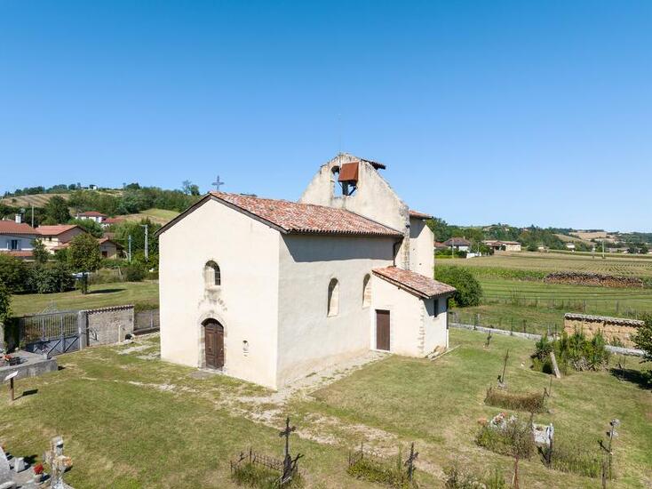
Circuit that lets you discover the château and medieval chapel of Illins, as well as the "Colombier" pear brandy distillery, while offering views of the Alps and Mont Blanc.
Description
From the "Villette de Vienne" starting sign, turn left into Rue des Serventières. At the post "Villette de Vienne", follow Chuzelle on the left to reach "Cugnet" and continue left until the "Morand" post. Turn right towards "Bonnetière". At the crossroads of Chemin des Vignes, take the path on the left. Follow it until you reach a road and follow it to the left until you reach the "Bonnetière" sign. From there, follow right until the "Taillis de Mure" post. Continue opposite on the trail to "Marennes", cross the D150A. Take the track in front of you to reach a small road, turn left, pass the "Bois des Fauries" post and continue to the "Le coin" post. From there, turn right towards "Bois de Tholomé". Pass the post and continue towards "La Platière". When you reach the houses, turn left then right at the crossroads. When you arrive at Villeneuve, go straight through the hamlet and turn right into the dead end. At the "Illins" post, turn right towards Villette de Vienne. Pass through the hamlet on the left then, at the chapel, turn right. Pass through the village and stay on the road until you reach the château farm up on the heights. From there, continue left on the trail past Château d'Illins before descending to the "Les Brigands" post. Continue until the "Cugnet" post and return to the starting point, by the outward journey route.
Opening period
From 01/01 to 31/12.
Spoken languages
-
 French
 French
Itinerary
- Marked route NON_DISPONIBLE
- Route type BOUCLE
Equipment
- Car park
Documents
Prices
Free access.