The Balmes Viennoises
Circuit that lets you discover the château and medieval chapel of Illins, as well as the "Colombier" pear brandy distillery, while offering views of the Alps and Mont Blanc.
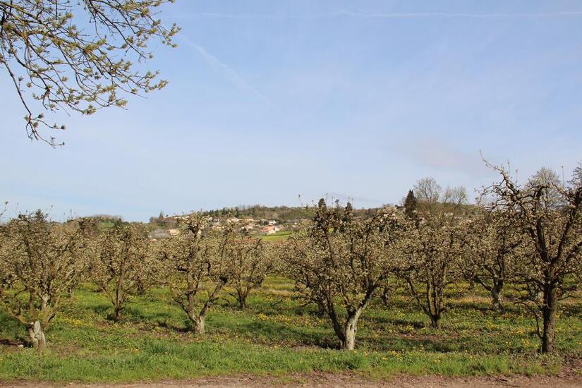
Description
DETAILED ITINERARY
1 - START - Villette-de-Vienne
- From the start sign, turn left onto Rue des Serventières.
- At the Villette de Vienne signpost, follow the signs for Chuzelle on the left until you reach Cugnet, then continue left until you reach the Morand signpost.
2 - TOWARDS BONNETIÈRE
- Turn right towards Bonnetière.
- At the Chemin des Vignes junction, take the path on the left until you reach a road.
- Follow the road on the left to the Bonnetière signpost, then continue right to the Taillis de Mure signpost.
3 - TOWARDS MARENNES
- Continue straight ahead on the track towards Marennes, cross the D150A and take the track opposite.
- When you reach a small road, turn left, pass the Bois des Fauries signpost and continue to the Le Coin signpost.
4 - BOIS DE THOLOMÉ AND LA PLATIÈRE
- Turn right towards Bois de Tholomé, pass the signpost and continue towards La Platière.
- Pass through the houses, turn left then right at the crossroads.
5 - VILLENEUVE AND ILLINS
- In Villeneuve, cross the hamlet in a straight line, then turn right into the cul-de-sac.
- At the Illins signpost, continue right towards Villette de Vienne.
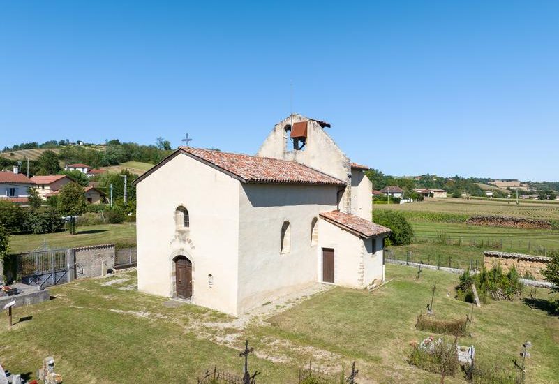
- Cross the hamlet on the left, then turn right at the chapel.
6 - CHÂTEAU D'ILLINS & RETURN
- Follow the road to the château farm on the hillside.
- Take the track on the left, pass in front of the Château d'Illins, then descend to the Les Brigands signpost.
- Continue to the Cugnet signpost and return to the starting point via the same route.
Opening period
From 01/01 to 31/12 daily.
Spoken languages
-
 French
 French
Itinerary
- Marked route NON_DISPONIBLE
- Route type BOUCLE
Equipment
- Car park
Documents
Prices
Free access.