Mont Monnet and Rigotte de Condrieu
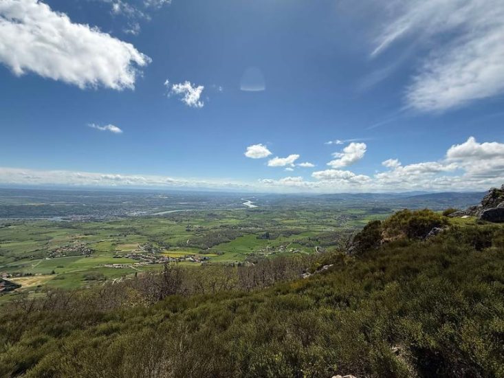
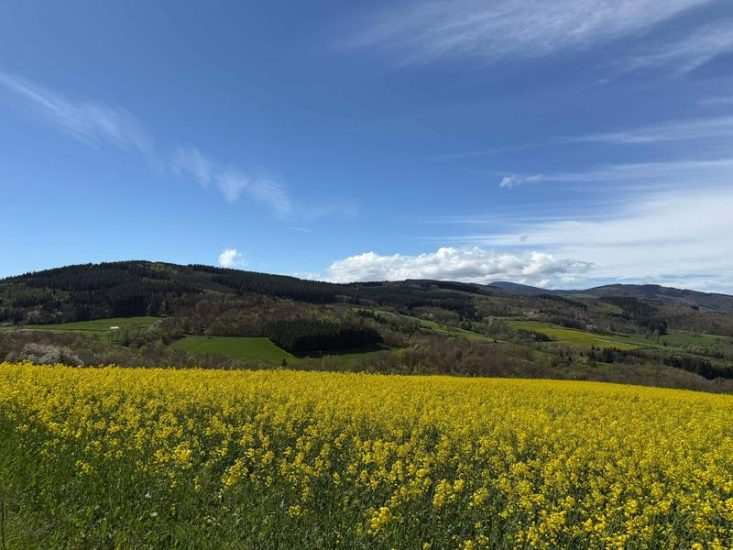
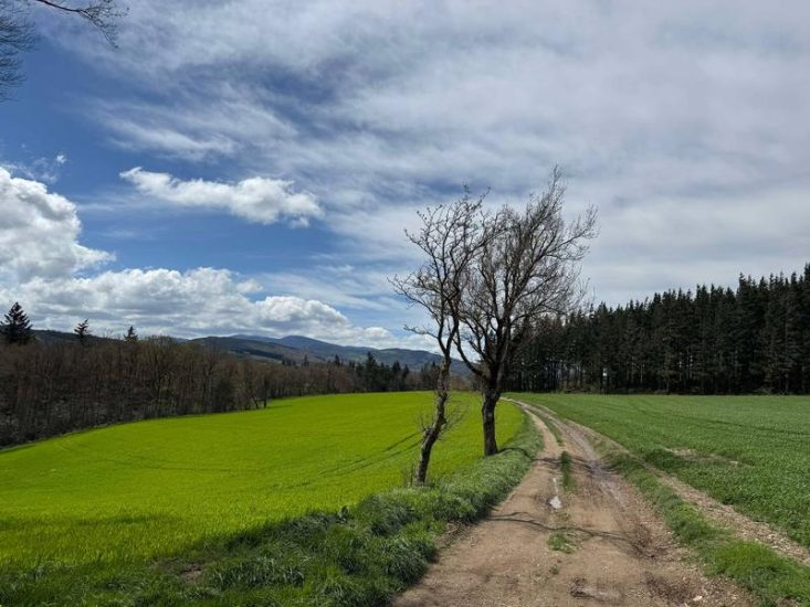
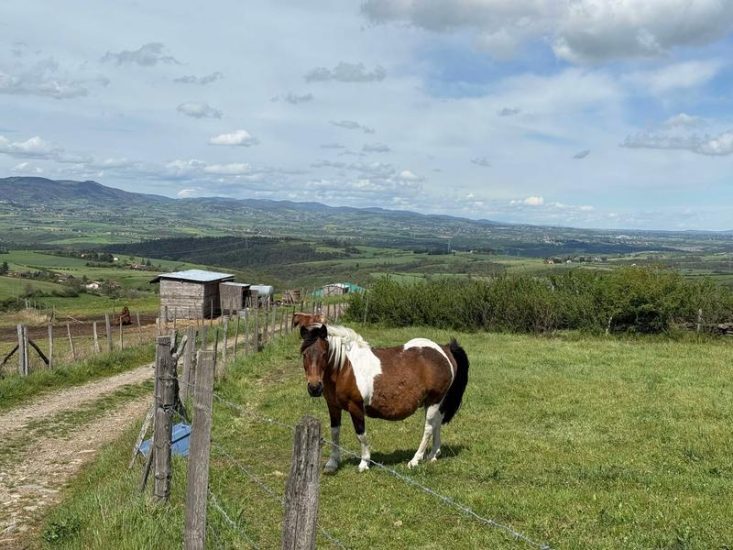
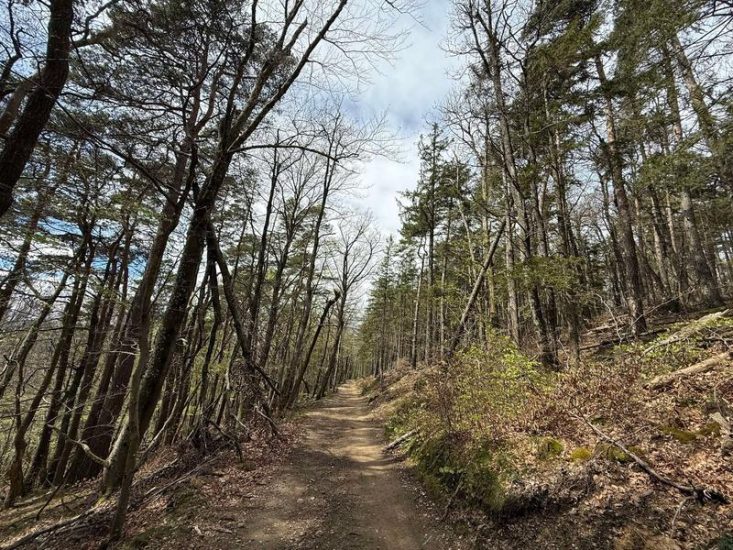
Head for the Pilat Regional Nature Park: an area where diverse landscapes, deep forests and livestock farming plateaus come together. Natural balconies open up onto the Rhône, Mont Blanc and Mont Ventoux, all the way to the summit of Mont Monnet and the villages below!
Description
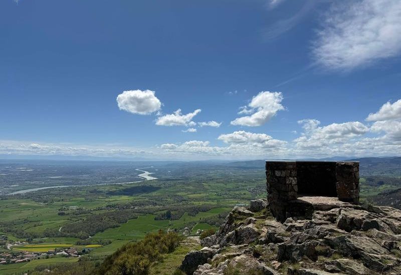
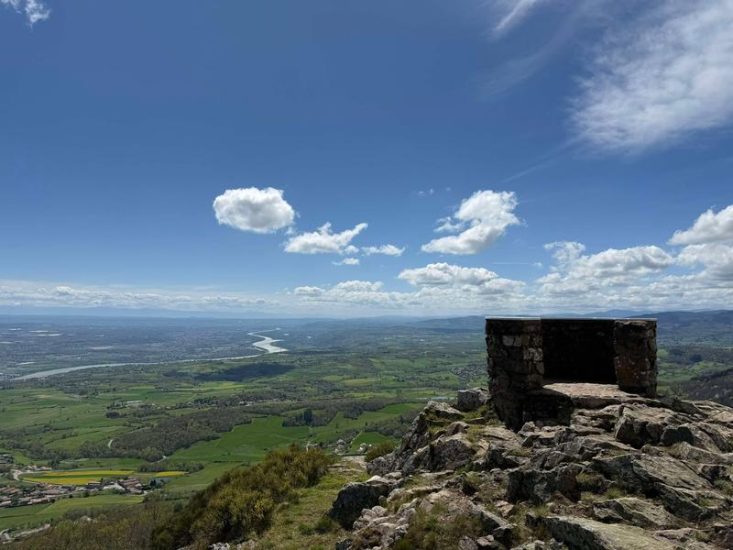
Hiking on Mont Monnet - Pilat Regional Nature Park
YOU WILL PARTICULARLY ENJOY:
- Immersing yourself in the Pilat Regional Nature Park, which is wild, agricultural and mountainous all at once.
- Viewpoints offering sweeping panoramic views of the Rhône, Mont Blanc, Mont Ventoux and the Vercors.
- Mont Monnet (781 m), the northernmost point of the Pilat ridge.
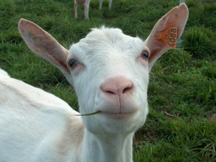
- The alternation between deep forests and livestock plateaus where Rigotte goats graze.
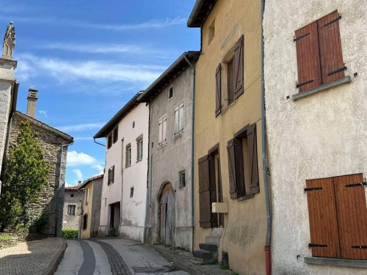
- The charm of stone villages built of gneiss and schist.
A SPECIAL EXPERIENCE:
- At sunrise, enjoy breakfast with a view from Mont Monnet.
- With a pair of binoculars, identify the surrounding landscapes: Mont Ministre to the south-west, the Rhône valley to the east, and the Rhône ravines of Bassemon, Arbuel, Vernon and Vérin.
- On 1 May, passing through Condrieu during the Vins et Rigotte festival: the perfect opportunity to put together a gourmet picnic to take with you on the trails.
- With a Pilat guide, to discover routes off the beaten track.
A LITTLE LOCAL CULTURE:
- Rigotte de Condrieu: a raw milk goat's cheese, born of this land of streams (rigot or rigol in local dialect). Cylindrical and melt-in-the-mouth, with delicate aromas of hazelnut and undergrowth, it pairs beautifully with AOC Condrieu wine. Awarded AOP status in 2013, it perpetuates a tradition passed down by goat farmers and then by merchants known as ‘coquetiers’.
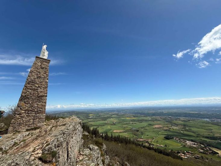
- The Grand'Roches Chapel: perched on the heights of Mont Monnet, this chapel and its statue of the Virgin and Child once watched over the crops. Pilgrimages were organised there to pray for favourable weather.
Opening period
All year round daily.
Subject to favorable weather.
Spoken languages
-
 French
 French
Itinerary
- Marked route BALISE
- Route type BOUCLE
- Nature of the land Ground Hard coating (tar, cement, flooring)
Equipment
- Car park
- Free car park
Environments
- In the country
- Forest location
- Village centre
- Panoramic view
Prices
Free access.
More informations
69420