La route de la Lavande
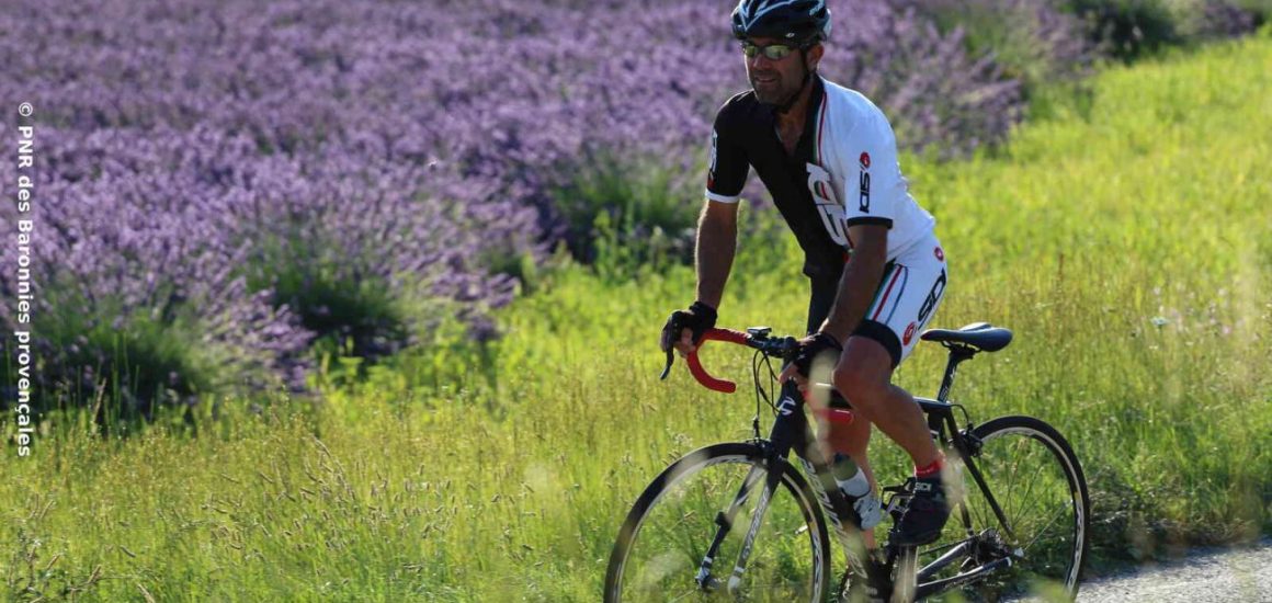
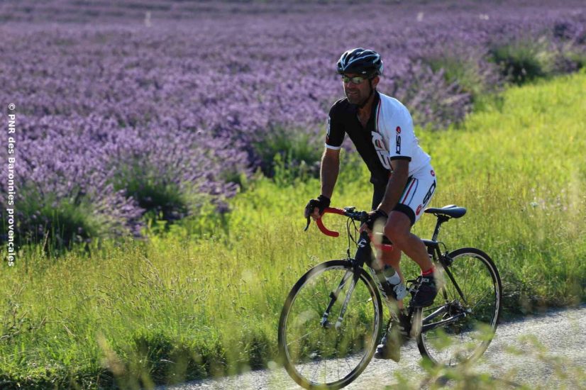
This long loop, which includes no fewer than six major passes in the Baronnies, will take the most experienced cyclists to the most cultivated flower in the region: lavender!
Description
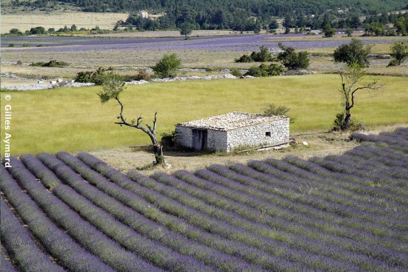
Emblematic of the Parc Naturel Régional des Baronnies Provençales, lavender will accompany you on this long-distance itinerary, from the foothills of Mont Ventoux to the headwaters of the Ouvèze. After passing the Col de Fontaube as a warm-up, you'll reach Montbrun les Bains and Ferrassières, where lavender fields line your route. But it's between July and August that these landscapes really take on a purple hue, so it's best to set off early to climb the Col de l'Homme Mort, reach Séderon, follow with the Col Saint-Jean and then the Col de Perty. At an altitude of 1302m, and with the wild lavender that grows around it, it's the highest and most beautiful panorama of the loop. Once back down into the Ouvèze valley, you'll pass through the village of Montguers before climbing the Col de Peyruergue, carpeted with lavender fields, and descending into the Ennuye valley. The Col d'Ey will take you back to the valley of Buis les Baronnies and bring your loop to a beautiful close.
Opening period
All year round daily.
Spoken languages
-
 French
 French
Itinerary
- Marked route BALISE
- Route type BOUCLE
Documents
Prices
Free access.