Jean-Jacques Rousseau Trail
A walk to discover the route taken more than two centuries ago by the famous philosopher and writer.
Description
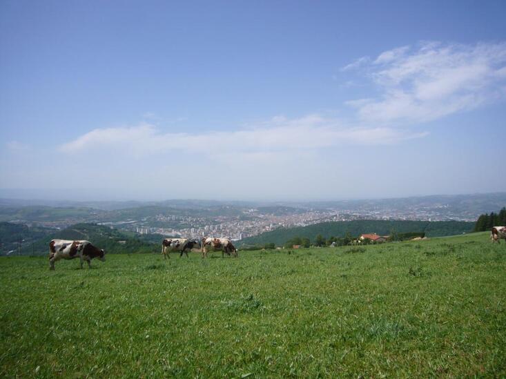
When Jean-Jacques Rousseau came to the Pilat to study, he was surprised by the mountain climate of the Jasserie area, in astonishing contrast with the banks of the river and the village of Condrieu with its eponymous vineyard.
The Jean-Jacques Rousseau Botanical Trail was the first route marked out by the Pilat Regional Nature Park. It lets you see the evolution of the vegetation as you go up and down the slopes, offering a great diversity of landscapes.
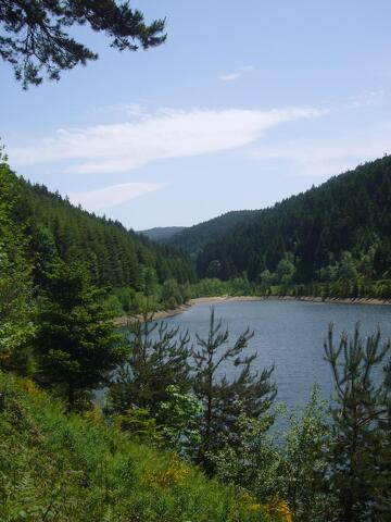
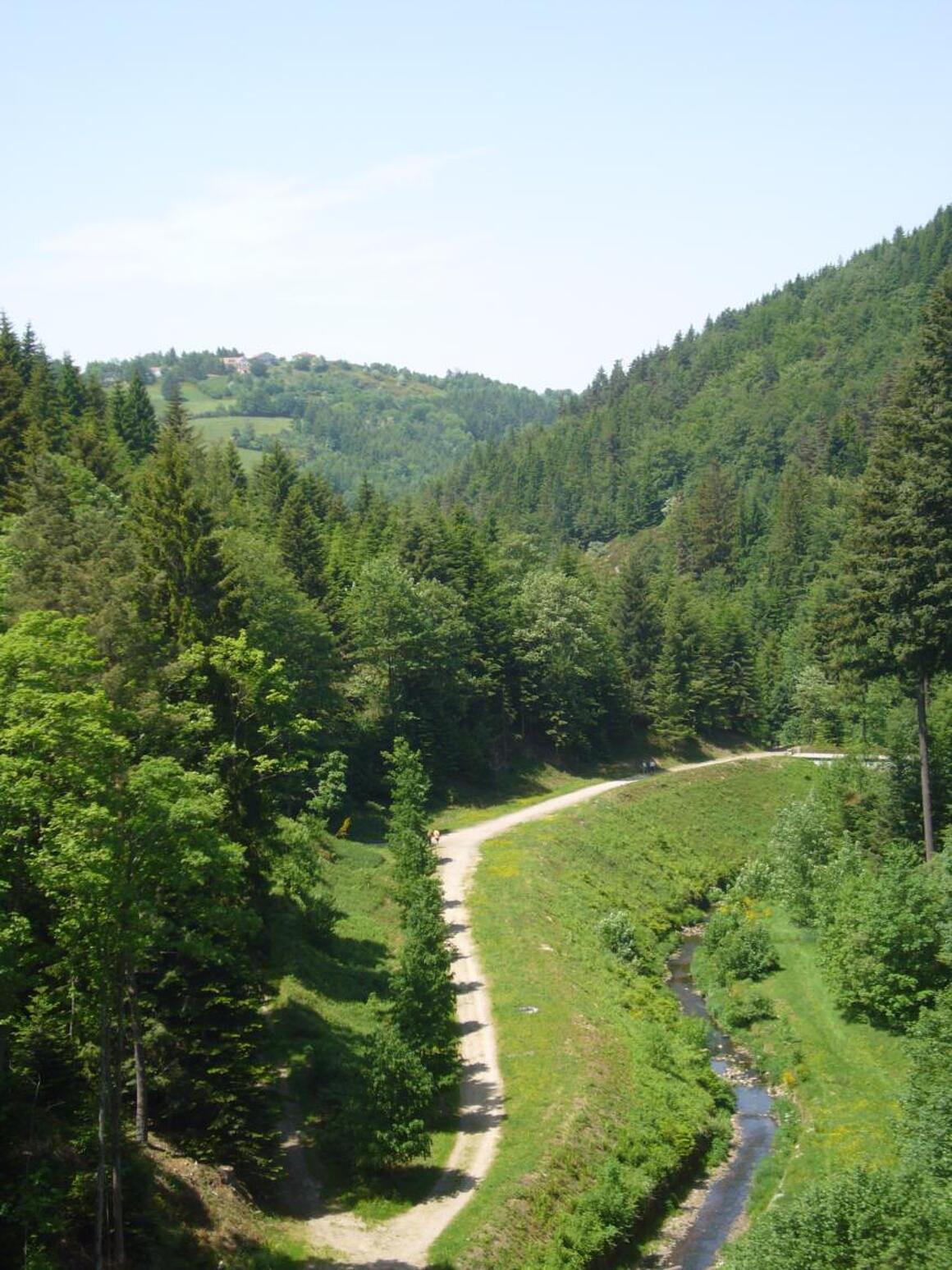
The Jean Jacques Rousseau trail goes from Condrieu to Saint-Etienne via Jasserie and Crêt de la Perdrix, following the Park’s trail no.1, brown and white markings. You also have the option to continue your route to Saint-Etienne with a "Station to Station" from Les Roches de Condrieu to Saint-Etienne Châteaucreux.
From Place du Marché aux Fruits (150m) in Condrieu, pass in front of the post office, then turn left at the end of the street (“Parc” signpost) to follow the white and brown markings of the Park's footpath no.1. You’ll arrive at the river, which you follow upstream. After a good climb, cross a road, follow it over 200m to the right, still climbing, then take the right-hand track. At "Le Plomb", follow the D78 road. After 1 km on the road, turn left onto the asphalt path that takes you through the hamlet of "Le Flachat" to continue climbing and arrive at the "La Pélarie" crossroads (402m). Cross the D19 to take the path that goes up in front of you until "La Vieille Chapelle", turn right and continue to Col de Grenouze (623m).
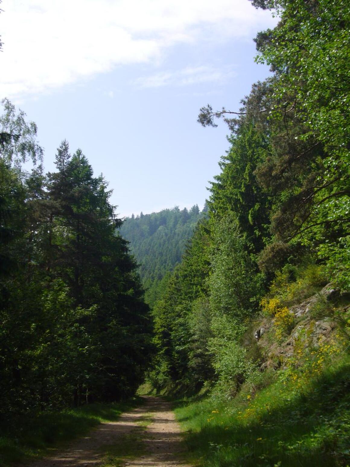
At the pass, take the path going up to Col de Pavezin on the west side of the mountain, which is shared with the Park’s mountain bike circuit no.13.
At Col de Pavezin, take the D7 towards La Terrasse sur Dorlay for about 100 m, then follow the road to Grange Rouet on the left for about 2km.
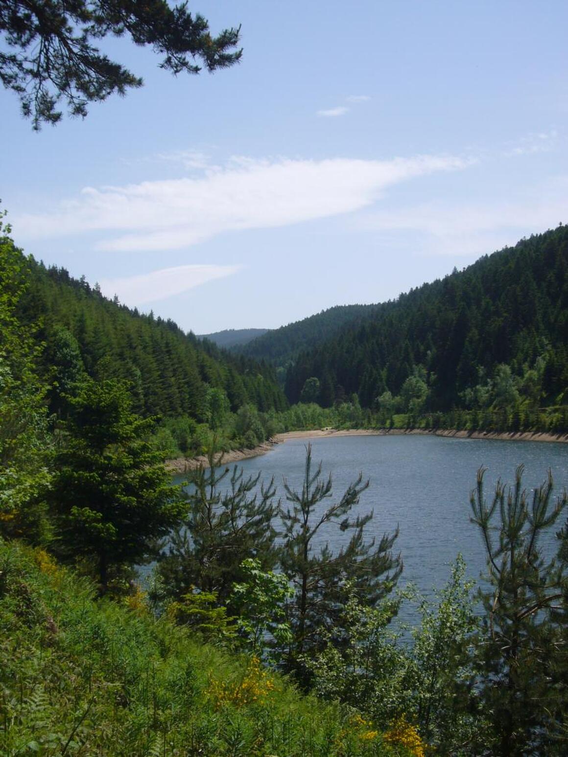
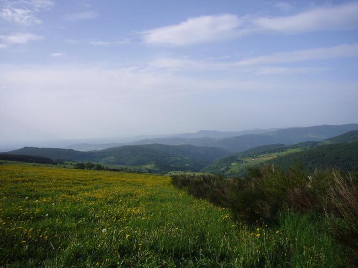
At the first signpost of the Park: Les Farges, 760m you have the option of going to "Château Bélize" to admire the panorama of the Rhône Valley, Pélussin and the Crêts by following the Park’s no.8 pedestrian path.
Please note: : don't look for a castle at "Château Bélize" - it's a heap of rocks!
Otherwise, continue to the 2nd signpost 20m further on to directly reach Crêt de Quatregrains (833m), following Jean-Jacques Rousseau trail no.1.
You then arrive at Croix de Montvieux (811m), where you should follow on the left the small road towards Châtelard, passing above Veylon to continue to climb steadily on the Collet of Doizieux (945m).
Before the Collet restaurant, follow the forest track on the left (coming from the restaurant) going down towards Doizieux (signpost).
In the village of Doizieux (590m), go up by the Tour Carrée and the church, then follow the rising path, pass "Les Freysses" then "La Roche" to continue up through woods until La Jasserie (1308m) where Jean-Jacques Rousseau made a stop.
Outside the circuit: Saut du Gier waterfall (be careful, the return trip is difficult and quite long!)
Itinerary
- Marked route NON_DISPONIBLE
Services
- Pets welcome
Environments
- In the country
- Village centre
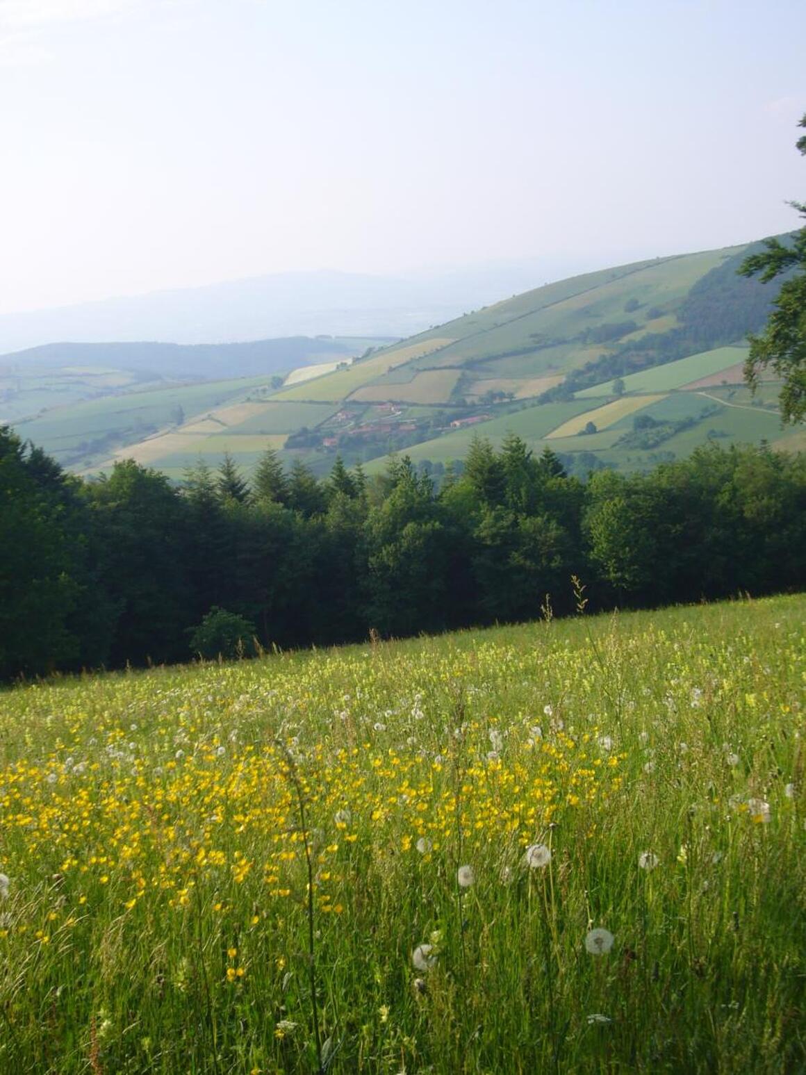
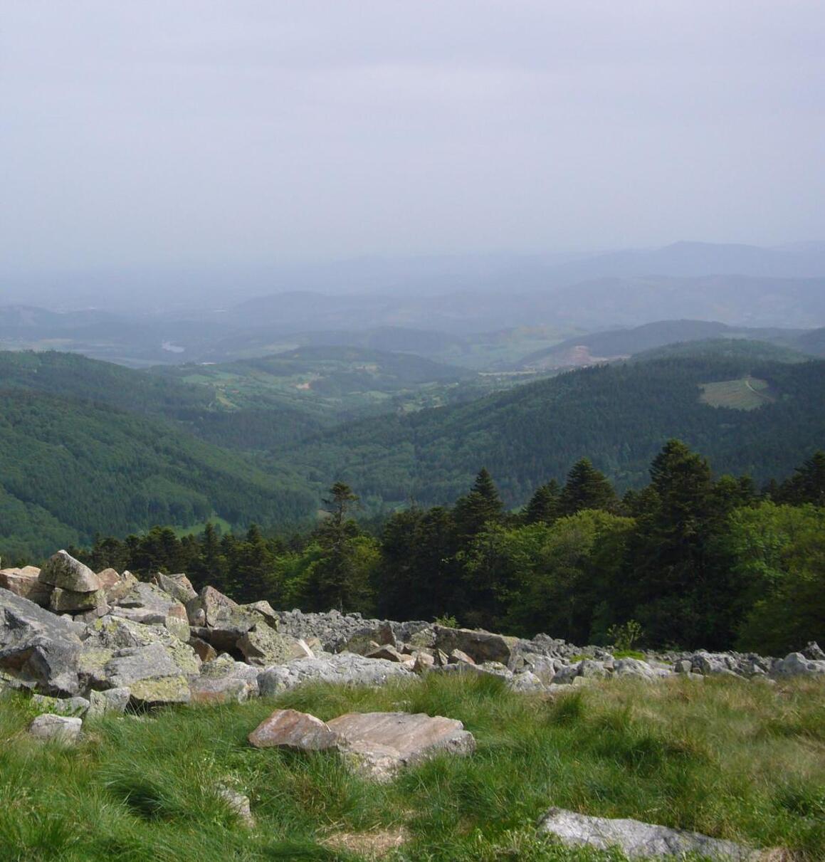
- Panoramic view