Jean-Jacques Rousseau Trail
A journey in the footsteps of the famous philosopher and writer, retracing the path he took more than two centuries ago.

Description
In the footsteps of Jean-Jacques Rousseau
- Starting point: Fruit market square in Condrieu
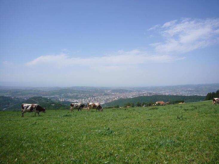
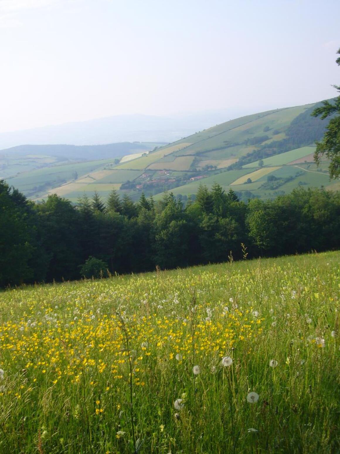
While collecting herbs in Pilat, Jean-Jacques Rousseau discovered the striking contrasts between the sunny banks of the Rhône and the mountainous terrain of La Jasserie. The Jean-Jacques Rousseau Botanical Trail, the first route marked out by the Pilat Regional Nature Park, was created in homage to this visit.
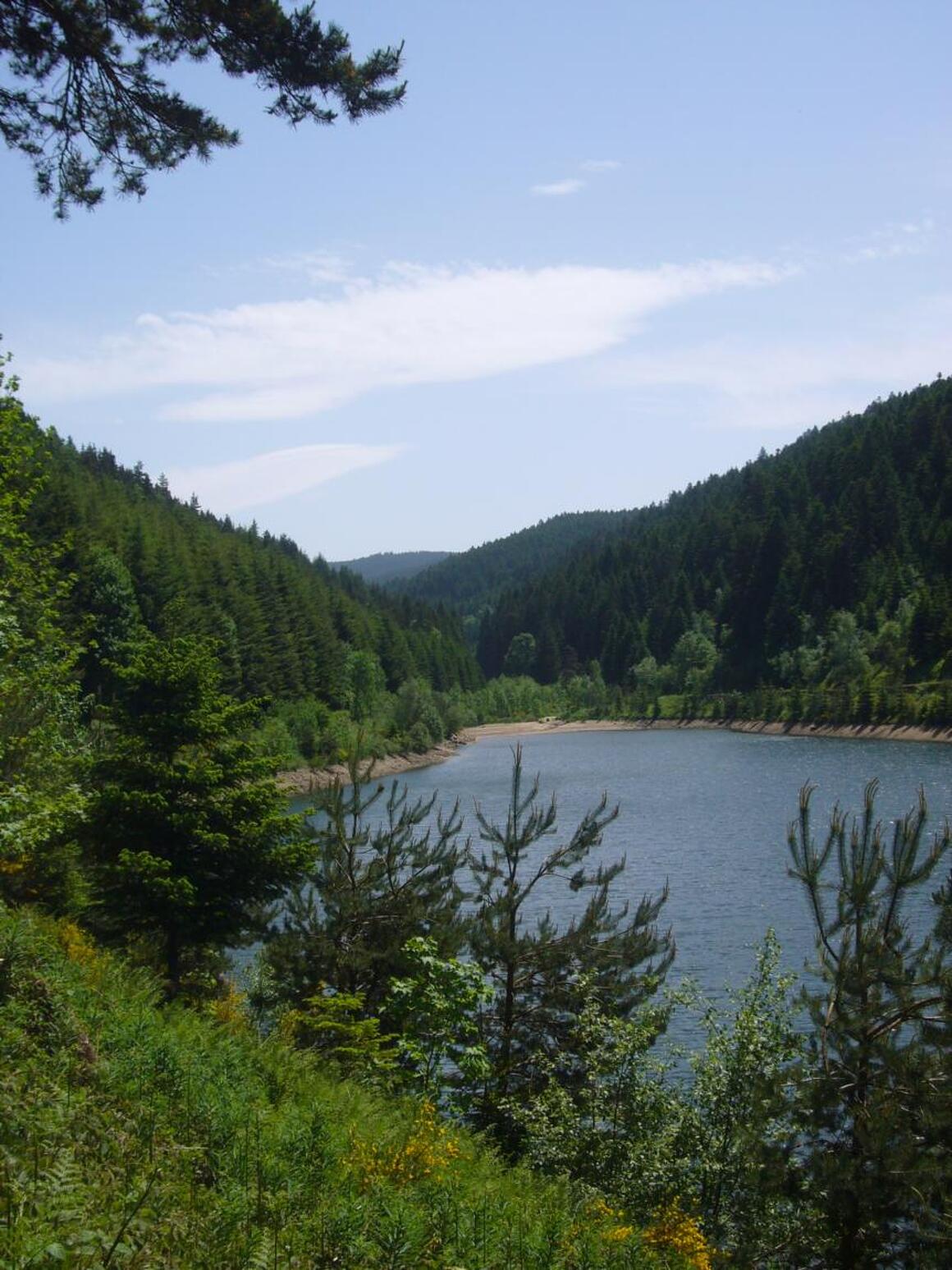
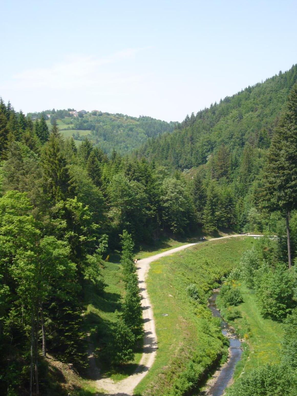
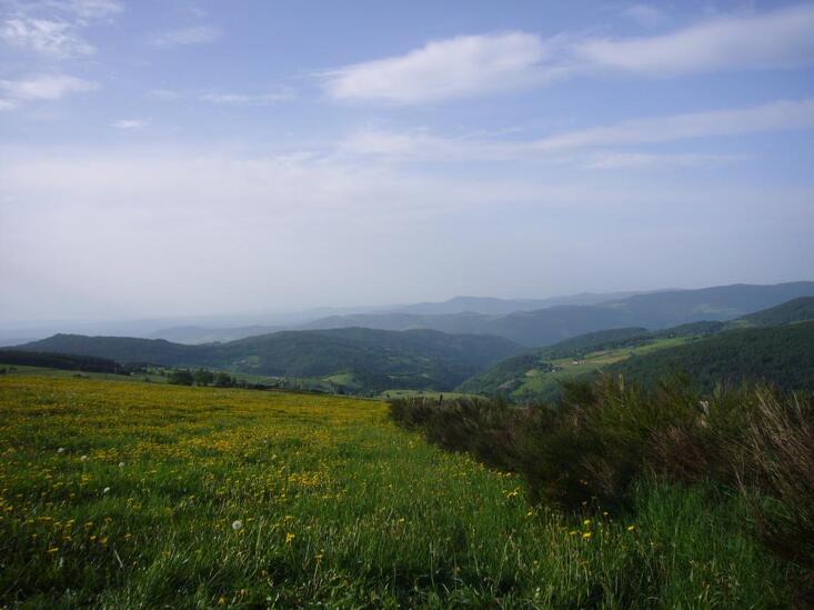
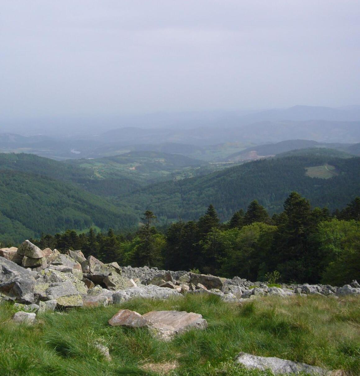
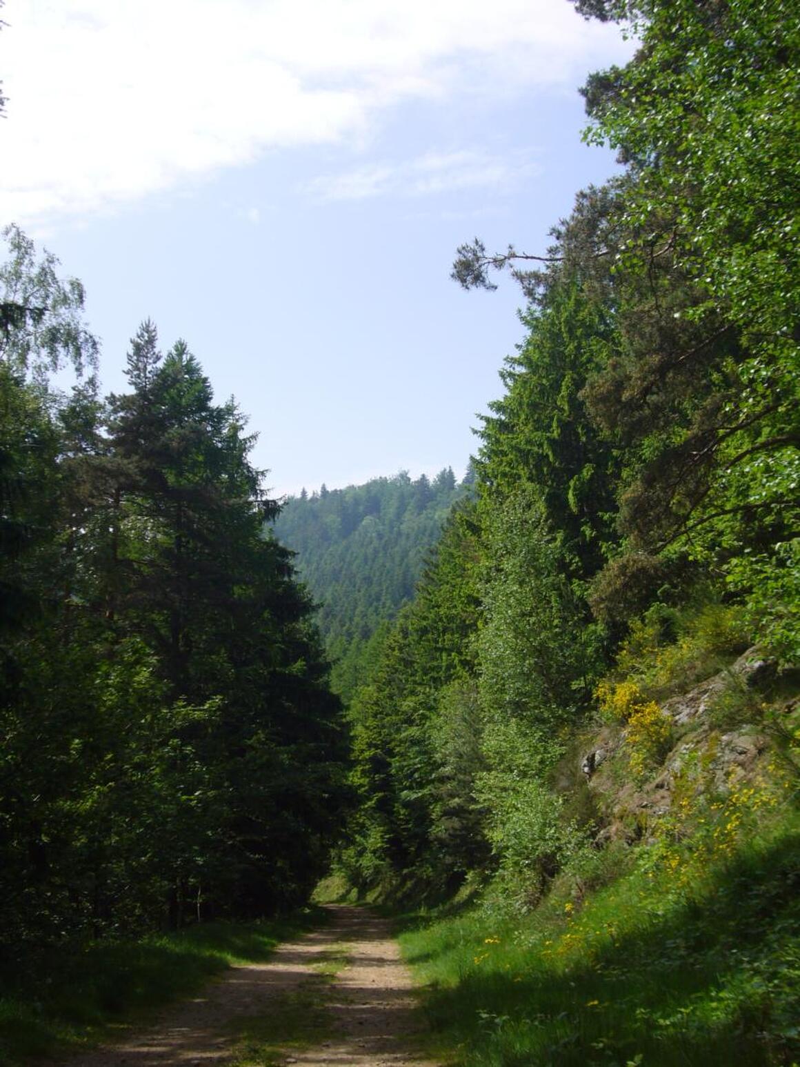
This trail allows you to observe the changing vegetation as you climb and admire a wide variety of landscapes. It connects Condrieu to Saint-Étienne, passing through La Jasserie and Crêt de la Perdrix, following trail no. 1 in the park (marked in white and brown). For the most motivated walkers, it is possible to extend the route with a ‘Gare à Gare’ trail between Les Roches-de-Condrieu and Saint-Étienne Châteaucreux.
DETAILED ITINERARY
1 - DEPARTURE FROM CONDRIEU
- From the fruit market square in Condrieu, walk past the post office and turn left at the end of the street (signpost for the park).
- Follow the white and brown markings (trail no. 1) along the river upstream.
- After a steep climb, you will come to a road. Follow this road to the right for 200 metres (uphill) then take the path on the right.
2 - ‘Le Plomb’ AREA
- In the ‘Le Plomb’ area, follow the D78.
- After 1 km, turn left onto the tarmac path that crosses the hamlet of ‘Le Flachat’. Continue uphill to the ‘La Pélarie’ crossroads (402 m).
- Cross the D19, then take the path opposite that climbs up to ‘La Vieille Chapelle’. Then turn right and continue to the Col de Grenouze (623 m).
3 - COL DE GRENOUZE > COL DE PAVEZIN
- Once at the pass, follow the path climbing up the western side of the mountain. This path is shared with mountain bike trail no. 13 in the Pilat Regional Nature Park.
- At the Col de Pavezin, follow the D7 towards La Terrasse sur Dorlay (for about 100 m).
- Turn left onto the Grange Rouet road (about 2 km).
4 - ‘Les Farges’ SECTOR
- At the first signpost for ‘Les Farges’, you can go to ‘Château Bélize’ to admire the view over the Rhône valley, Pélussin and Les Crêts by following the park's walking trail no. 8. (N.B.: don't look for a castle at ‘Château Bélize’, it's just a pile of rocks!)
- Otherwise, continue to the second signpost (20 m further on) and take the original trail to reach the Crêt de Quatregrains (833 m).
5 - ASCENT TO THE MONTVIEUX CROSS (811 m)
- Follow the small road on the left towards Le Châtelard.
- Pass above Veylon.
- Climb steadily to Collet de Doizieux (945 m).
6 - DESCENT TO DOIZIEUX
- Before the Collet restaurant, take the forest track downhill on the left (signpost).
- In the village of Doizieux, climb up past the square tower and the church, then follow the path uphill.
7 - FINAL ASCENT TO ‘La Jasserie’
- Pass through ‘Les Freysses’ and then ‘La Roche’ to continue climbing through the woods.
- Arrival at La Jasserie, a famous spot in Pilat where Jean-Jacques Rousseau once stayed.
OFF THE TRAIL
– Possible detour to the Saut du Gier waterfall.
(Please note: this is a difficult and fairly long round trip).
Itinerary
- Marked route BALISE
Services
- Pets welcome
Environments
- In the country
- Village centre
- Panoramic view